
This product is an add-on scenery for Microsoft Flight Simulator 2000 (FS2000), Microsoft Flight Simulator 2002 (FS2002), and Microsoft Flight Simulator 2004 (FS2004).
Historical Background
In FS2000, Terrain Mesh Scenery System was introduced, it was possible to make detail scenery data from digital map. We colud make Japanese scenery from digital maps made by The Geographical Survey Institute by using Mr. Murakami's tool and terrain SDK by Microsoft.
In the summer of year 2000, the experiment result and jt_auto which is a tool modified from Mr. Murakami's tool jterrain was released at this site. Further, the screen shots of the scenery which was made by this jt_auto tool was shown at this site. But, it was very heavy, it could not be usable for flying. It was only for sightseeing by the still photo.
But because of increasing CPU power etc., the time was come when this scenery has a practical use. In detail, please click HERE.
Atatan provided you this scenery which was made by jt_auto tool as an All Japan Terrain Scenery Detail Version (ver 1.0). In those days, there was phenomenon that a fissure at a part of mountains and holes at seashore area existed, and it couldn't be solved.
FS2002 and fixing holes
On the end of Autumn of 2001, FS2002 is released. All Japan Terrain Scenery Detail Version is not only usable in FS2002, bul also it displays its real ability in FS2002. In detail, please click HERE. Further, we fix this problem of a fissure and holes. (You can see the comprison images from HERE.) You can download the experiment patch for the modification at Ogatsu, Mono-gun, Miyagi JAPAN from HERE. This is a small area but you can get a fixed one at the comprison images page.
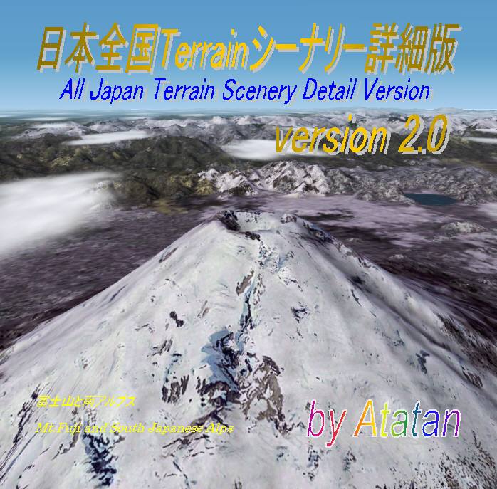
All Japan Terrain Scenery Detail Version ver 2.0
We release this fixed version as All Japan Terrain Scenery Detail Version ver 2.0. This scenery is suitable for FS2002 and FS2004, and nice for FS2000 too. The sampling rate of the high resolution part of this scenery is 38 m (LOD = 10), so it is possible to utilize completely the data of original MSI digital map (50 m mesh). Further, it contains also the middle resolution (sampling rate is 76 m, LOD = 9), and the low resolution (sampling rate is 153 m, LOD = 8) data. In FS2002, the lower resolution data can be seen from the longer distance. Therefore, the best condition is get from the short and long distance view both, by registering scenery library both e.g. high and low resolution data.
| All Japan Terrain Scenery Detail Version ver 2.0 |
Contents 1 CD-ROM |
Price | |||
How to buy
Please click HERE and mail to us. And we will send a reply. Thank you.
This scenery gets an approval from MSI for release. (Approval number : Hei 13 Sou-Shi #77 )
We appreciate very much to Mr. Murakami who developed valuable tool.
If you want to contact us about this product, plese click HERE.