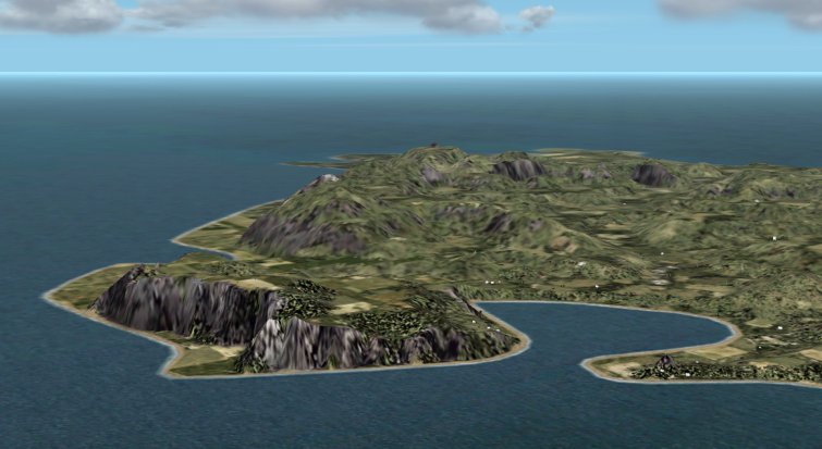
Because GSI's Digital Map does not include elevation data of Japanese northern territories, All Japan Terrain Scenery Detail Version which is made by resampling it by Atatan does not include Japanese northern territories either. In GSI's digital map series, there are raster map image data. In this time, I make MEM files from contour data of "Digital Map 200000 (Map Image)" by hand, and make terrain mesh scenery of Japanese northern territories (occupied by russia now) using Mr. Murakami's tool. But data and labor quantity are large both for making 50 m mesh, because specially Kunashiri and Etorofu islands are large. I decide to open Shikotan island terrain scenery including a part of Habomai islands here, and Atatan sells all Japanese northern territories data including Kunashiri, and Etorofu.
I declare that there are some disadvantage our hand-made MEM files in advance.
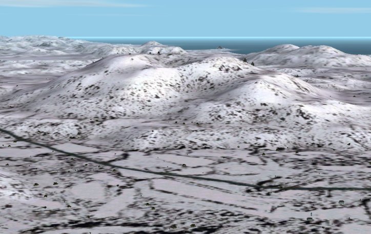
- Accuracy of elevation data is around 100 m with averaging, because accuracy of a contour of original data is aroung 100 m.
- With averaging, resolution of elevation is 10 m, but it is worse than MEM files of GSI original (it is 1 m).
- Adjustment is done for avoiding stair shape with too less averaging, and for avoiding lose fineness with too much averaging.
- There are some parts with line or stair at the edge of MEM file, because of hand-made operation.
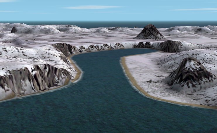
There are some parts with gap between data and beach line. This is because FS2002 engine reads beach line data from the other bgl file. This is the phenomenon not only Northern territories but also all over the world.
|


 M
M